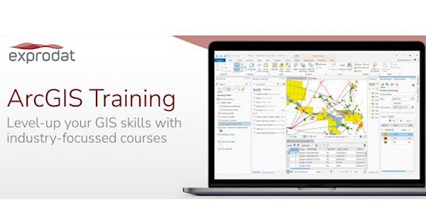
This is an entry level course that teaches you how to use Esri's ArcGIS Pro for oil and gas exploration and production (E&P) activities whilst working with petroleum industry spatial data and workflows. This course allows you to explore the benefits in applying Geographic Information Systems (GIS) to your petroleum workflows whilst exploring the functionality available in the new ArcGIS Pro application.
Besides using the basic functionality offered by ArcGIS for Desktop that allows you to integrate spatial and non-spatial data and produce information for decision-making, ArcGIS Pro also allows you to store as many maps and layouts as you need in the same project, view 2D and 3D data simultaneously and create tasks to automate workflows. You can also package your projects to collaborate with others, or share your work as web maps and web layers. ArcGIS Pro can use local data, as well as content from ArcGIS Online and Portal for ArcGIS.
In addition to this, ArcGIS Pro is a 64-bit multithreaded application, delivering the kind of high performance that G&G staff in the petroleum sector have come to expect.
Virtual Classroom
Our instructor-led Virtual Classroom courses are delivered online in real-time over the Internet. The courses are led by an Exprodat trainer, just like a standard classroom-based event, who is on-hand at all times to answer questions and interact with you during the training.
All software and data are hosted remotely – you just need a browser – but don’t worry, the instructor can still monitor your computer and help out if you need assistance during the hands-on exercises.
- No need to travel, reduced participation costs.
- Hands-on learning by doing, using Exprodat’s industry-specific ArcGIS training courses.
- Participate in class discussions, ask the instructor questions.
Pre-requisites
No geospatial knowledge is assumed beyond that acquired through the use of geological maps. It is not essential to have petroleum E&P sector knowledge however; this course is geared towards assisting participants to implement E&P workflows geospatially.
Intended Audience
Geoscience professionals and support staff who are going to be using GIS tools and E&P project staff who need a basic understanding of GIS in order to manage geospatial projects using ArcGIS Pro.
- Focuses on how to manage E&P workflows using GIS and identifies the advantages – this is not a generic ArcGIS Pro migration course
- Two-day intensive course
- Instructor-led hands-on learning by ‘doing’
- Trainer demonstrations and course validation questions
- Provides the basis for learning more advanced techniques
Features
- Become familiar with the ribbon interface, views and navigation tools available in ArcGIS Pro
- Describe and compare the file extensions used in ArcGIS Pro for creating projects, maps, layouts and layers
- Convert co-ordinates stored in a table to points on a map
- Create side-by-side 2D Maps and 3D Scenes to display depth, wellbore and field data
- Use the fields designer tools to manage fields, domains and subtypes
- Explore the editing tools in ArcGIS Pro by creating and amending fault lines and play fairway polygons
- Customise the ribbon interface by adding a geoprocessing tool
- Create a task from a workflow and modify an existing task using the Task pane and Task Designer
- Export data to produce layer, map and project packages for storing and sharing data
- Create and share content using ArcGIS Online
Participants will
- Learn fundamental ArcGIS Pro functionality
- Work with E&P datasets and apply typical E&P workflows
- Understand Esri's spatial data storage terminology
- Learn how to import ArcMap map documents into ArcGIS Pro
- Create an ArcGIS Pro project, containing a 2D Map, 3D Scene and a Layout
- Capture a geoprocessing workflow in a Task
- Create and share a Web Map
