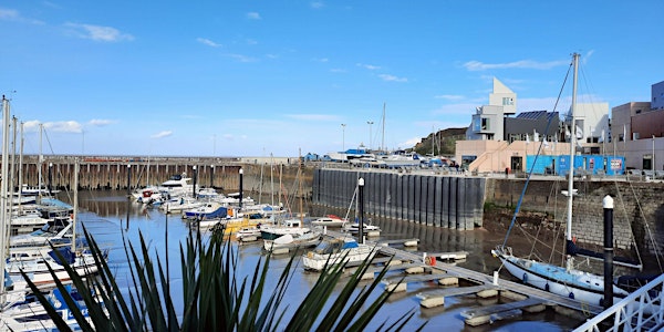
Walk: Somerset Coast - Day 4: Watchet to Burton
This is a fantastic opportunity to join walkers on the 80 Miles in Eight Days Challenge for part of their walk.
On day four we leave Watchet and head to the first of two beach sections for the day. The entire length of this section of coast is known for its rock formations, fossils and the geological faults and is part of the Blue Anchor to Lilstock geological Site of Special Scientific Interest (SSSI). As you walk you can see the incredible patterns made by these geological formations on the shore and in the cliffs.
After a short section on the cliff top we return to the shore at St. Audries for our second beach section and a chance to see stunning St. Audries waterfall before heading across the bay to return to the clifftops, passing Court House at East Quantoxhead, the home of the Luttrell family, and on to Kilve. Here in the car park we see the Kilve Oil Retort, part of an ill-fated attempt to extract oil from shale, and then head to Lilstock and the Range Quadrant Tower, once used to practice bombing raids in the Bristol Channel.
At the end of the day we leave the geological SSSI and enter the Bridgwater Bay Nature Reserve at Shurton Bars, before turning inland past the Hinkley Point C construction site to reach Burton.
Along the entire Challenge route there are stamping stations for the Somerset & Exmoor Coast Trail Passport with maps, diary pages and spaces to collect stamps on your walk.
Look out for events, offers and promotions at the location of the walk each day, some of our supporters are timing activities to make your trip as enjoyable as possible with special treats such as packed lunches or cream teas available at the start or end of your day’s walking.
Due to the challenge nature for some participants of this walk, we have made the decision not to accept dogs on the walk.


